Geospatial Surveying & Mapping Subsurface Utility Engineering (SUE)

CTS utilizes the latest and most reliable technologies in the industry to provide the highest level of precision, safety, and efficiency.

We offer full Surveying, Mapping, and Subsurface Utility Engineering (SUE) services through our Geospatial Department to state, local counties, cities, and private corporations.

Our experienced team will provide you the most valuable resource to develop your project: current data. Starting from concept development to final construction plans, we will cover improvement location, legal aspects, and any utility conflicts. 

Using the latest state-of-the-art technology, CTS can deliver data for 3D modeling, collect information in real-time, and provide data fusion between CADD, LiDAR, and GIS. No matter the level of service, our resources are geared up for the success of your project.,

Working with us just got better...

CTS now offers mobile LiDAR technology

Our mobile LiDAR tools includes a vehicle mounted unit that creates a complete dataset of location and features, including precise measurements and calculations for design, planning, or analysis. Increase efficiency, improve data quality, and reduce project costs.


Our Geospatial Department

Director of Geospatial,
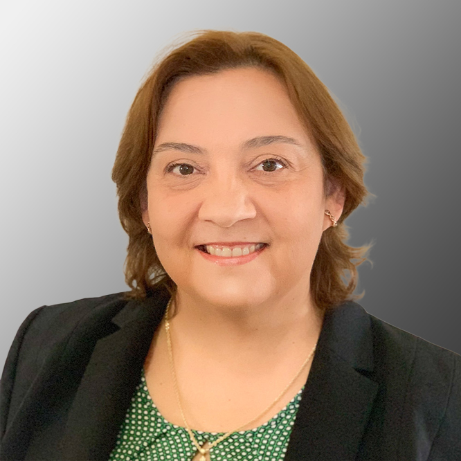
Ms. Lis Tolstoy

Director of Geospatial, Ms. Lis Tolstoy, PSM, brings over 30 years of surveying experience. She is well-known and trusted in the industry and always serves as a great leader on the projects she oversees. 

She has served as a Project Manager on multiple contracts with the FDOT, and managed 200+ work orders. Ms. Tolstoy is a stickler for detail and holds her survey team to the highest of standards, ensuring that our clients receive a quality project. Her experience includes high-pressure management roles that require the prioritization and planning of work activities to not only meet, but also exceed, productivity standards. Her extensive experience covers the areas of Design/Topographic/DTM Surveys, Geodetic Control (Horizonal & Vertical), Boundary Surveys, Right-of-Way Control Survey and Mapping, Maintenance and Monumentation Maps, As-Built Surveys, Hydrographic Surveys, Mean High-water Surveys, 3D Terrestrial/Mobile LiDAR, GIS Data Collection – Survey 123, Data Conversion, GPS and Georeferencing.  

Read More
Project Surveyor, 
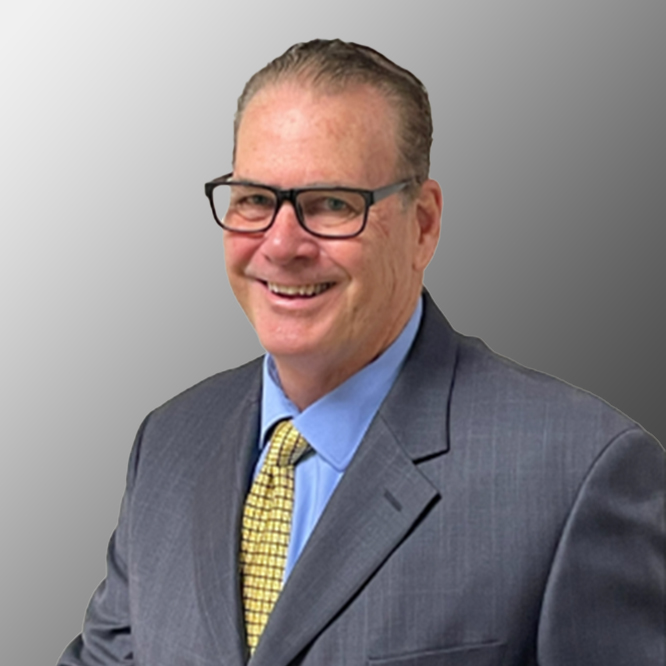
Mr. Paul E. Doll

Project Surveyor, Mr. Paul E. Doll, PSM, recently retired after 30 years from the Florida Department of Transportation District 4, where he held the position of Survey Section Leader. 

From 1989 to 2009, he held roles as a Survey Crew Chief and Survey Technician with the FDOT District 4 office, where he was able to gain valuable experience conducting and supervising field survey crews, as well as, performing data processing using software such as MicroStation, GEOPAK, CAiCE and FDOT CADD applications. During his last 5 years at the Department (2015-2020), his main tasks involved evaluating Leica survey equipment, developing settings and procedures for the collection process, training the district field crews to operate the new equipment and providing technical support to them when they have issues. Mr. Doll retired after 30 years of exemplary service to the FDOT and continues to serve the industry with his wealth of knowledge and expertise in the private sector. At CTS Engineering, Inc., Mr. Doll serves as a Senior Surveyor and Mapper and will ensure that all survey related deliverables will meet the state and local criteria and standard of quality.

Read More
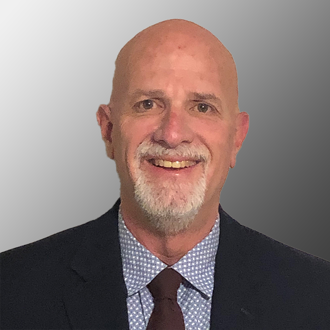
Mr. Dennis Stanton

Mr. Dennis Stanton brings over 30 years of Subsurface Utility Engineering (SUE), Utility Coordinating, and protection of subsurface utility systems. He has performed utility investigations with a variety of electronic detection devices, survey equipment, and air/vacuum excavators on numerous projects throughout Florida. 

His experience includes the role of Project Manager for multiple districtwide contracts, supervising over 50,000 test holes, and more than 1M utility feet of designating. During the past year at CTS, he has developed a team of Subsurface Utility experts while providing many assignments on time & within budget.

Read More
Scroll to top